
Search Results (31020 total)
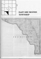
East Des Moines Township; Mahaska County; Iowa
This is a map of the East Des Moines Township as it appeared in 1936. The most notable communities that comprised the East Des Moines Township at one time included; Givin, Des Moines City, and the famous mining camp of Muchakinock. The entire…
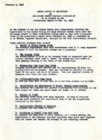
1948 Des Moines County Drainage System Report
At the request of the Des Moines County Soil Conservation District, the supervisors of the Des Moines County Drainage District Number Seven made a report of their activities during 1947.
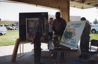
1998 Ag Expo Des Moines County Soil and Water Conservation District Booth
The Des Moines County Soil and Water Conservation District has a booth at the 1998 Ag Expo. The Soil and Water Conservation districts (SWCD) are encouraged to exhibit at the Ag Expos in Des Moines. The photos are all part of the Des Moines County…
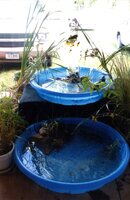
2008 - Fair Booth Plant Exhibit at the Des Moines County Fair in Burlington, Iowa
These photographs show the plant exhibit at the Des Moines County Fair at the Des Moines County Fair held July 23- July 29, 2008. The exhibit is sponsored by the Des Moines County Soil and Water Conservation District
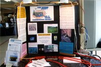
2008 Panel Poster Display at the Des Moines County Fair in Burlington, Iowa
Educational posters on conservation are on display at the Des Moines County Fair held July 28-August 4, 2008 in Burlington, Iowa. The booth was sponsored by the Des Moines County Soil and Water Conservation District
1946 Program of Des Moines County Soil Conservation Service
This program attempts to set forth soil conservation and land use ·problems of Des Moines County and to state what the district desires to achieve. This document gives a history of how and when the service was started and the desire to control the…
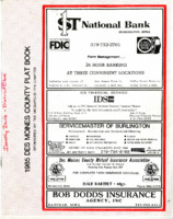
1985 Des Moines County Plat Book
This book contains Des Moines County Plat maps of the townships and a farmer's directory which includes their locations on the maps. There is also a Des Moines County highway map.
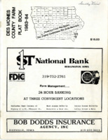
1983-1984 Des Moines County Farm Plat Book
This book contains Des Moines County Plat maps of the townships and a farmer's directory which includes their locations on the maps. There is also a Des Moines County highway map.
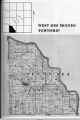
West Des Moines Township; Mahaska County; Iowa
West Des Moines Township is located south of the Des Moines River and represents part of the southern border between Mahaska County and Monroe County. The only community that the township consists of is Bluff Creek. Lakonta used to exist in the…
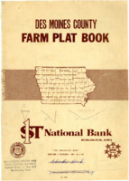
1968 Des Moines County Farm Plat Book
This book contains Des Moines County Plat maps of the townships and a farmer's directory which includes their locations on the maps. There is also a Des Moines County highway map.