Skip to main content
Browse Items · Iowa Heritage Digital Collections
State Library of Iowa
Enter words to search for
Advanced Search
About IHDC
Copyright and Ownership
History
Participating Institutions
Welcome to the Iowa Heritage Digital Collections
Browse Collections
Exhibits
Contact Us
For Depositors
Collection Development Policy
Contact Us
Digitization Resources for participants in the Iowa Heritage Digital Collections
Omeka Directions: Adding Items to Omeka
Funding Resources
Steps to Participation
Dublin Core and Item Type Metadata descriptions
Required Dublin Core Fields for Items
Search Help
Image Help
Browse Items (154 total)
Browse All
Browse by Tag
Search Items
1
2
3
4
5
6
7
8
9
10
11
12
13
14
15
16
Next
Last
Sort by:
Title
Creator
Date Added
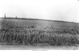
Loess and Iowan till, Windsor Township, Iowa, July 10, 1924
Located in Windsor Twp., Section 16. Looking south middle of north line of northeast 1/4.
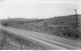
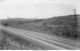
Kansan gumbotil covered with Iowan till with background of Iowan constructional topography; Windsor Township, Iowa, July 10, 1924
View looking southeast of Section 16.
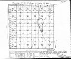
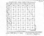
Iowa land survey map of t092n, r009w
40 chains to an inch
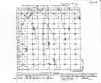
Iowa land survey map of t093n, r010w
40 chains to an inch
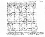
Iowa land survey map of t094n, r010w
40 chains to an inch
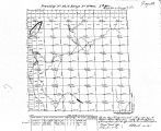
Iowa land survey map of t095n, r010w
40 chains to an inch
Iowa land survey map of t092n, r010w
40 chains to an inch
Bluff above a stream near Rawson's Mill. The thick ledge at the summit is Niagara limestone. Iowa, late 1890s or early 1900s
The height from the level of the stream to the line of contact is 94 feet.
1
2
3
4
5
6
7
8
9
10
11
12
13
14
15
16
Next
Last