Browse Items (18 total)
Sort by:
Surveying conservation site, 1967
B&W photograph of Ralph Oestern, Chas Wendel, and Irvin Scovel surveying conservation site.
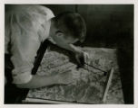
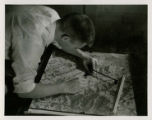
Student using tools on a relief map, 1957
A student uses tools on a relief map.
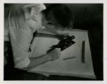
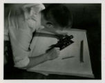
Student performing plane table surveying using an alidade, 1957
A student performs plane table surveying using an alidade on a topographic map.
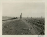
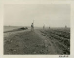
Students using surveying equipment, 1949
Students are using surveying equipment to layout terraces on farm land for erosion control.
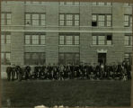
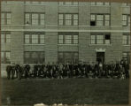
Individuals with surveying equipment
A class in Farm Engineering are posed outside of a university building. The group is carrying various pieces of surveying equipment such as transits and survey poles.
Student using tools on a relief map, 1957
A student uses tools on a relief map.
Student performing plane table surveying using an alidade, 1957
A student performs plane table surveying using an alidade on a topographic map.
Students using surveying equipment, 1949
Students are using surveying equipment to layout terraces on farm land for erosion control.
Individuals with surveying equipment
A class in Farm Engineering are posed outside of a university building. The group is carrying various pieces of surveying equipment such as transits and survey poles.
Original Iowa land survey map of T067R15W
Original land survey map of T067R15W within Davis County, Iowa. Settlers indicated appear to be: J. Harris; Rails; Johnson's; J. Gotts; Kings; J. O. Edberts.