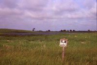
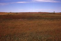
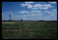
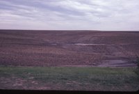
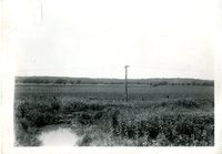
This is a general view of cropland field not planted in 1943 because of wet conditions. Typical of large area of land on the Des Moines River bottom 2 miles southeast of Eldon, in proposed drainage district. The outlet is inadequate to drain land for…
Grain bins near intersection of tracks and road. Railroad crossing sign at intersection. "View looks NW. Ex RI. Ron Sims photo, 2717 Cornell, D.M. IA 50313"--Photograph verso.
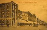
Pictured here is the Westside of the Oskaloosa town square as it appeared in the late 1800's. The Westside of the square was located on South Market Street. The city park was located just across the street, which is where many of the town's…
Photo taken from construction tower. Children's Hospital was later renamed the Steindler Building, and the West Lawn Nurses' Home is now called Westlawn. In far background can be seen the Iowa River and Iowa Memorial Union.